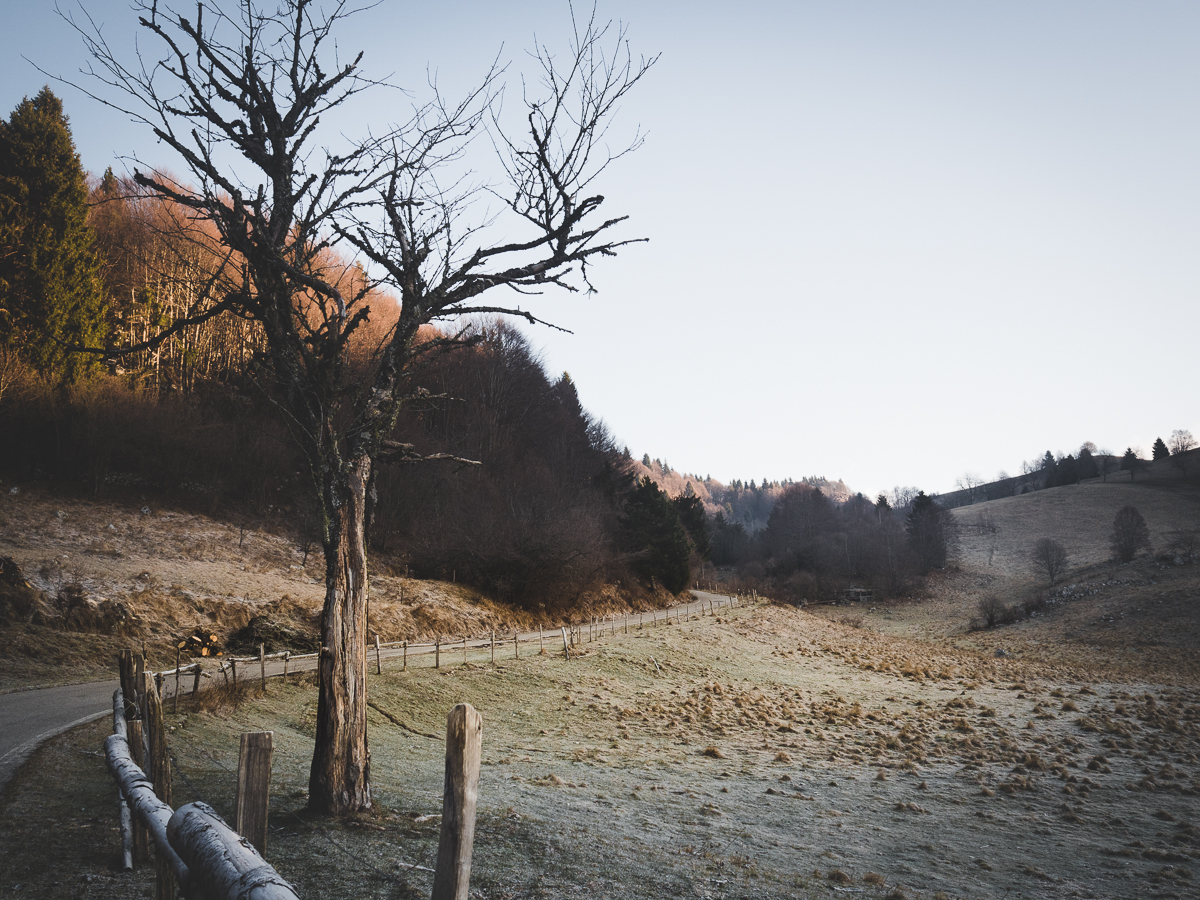
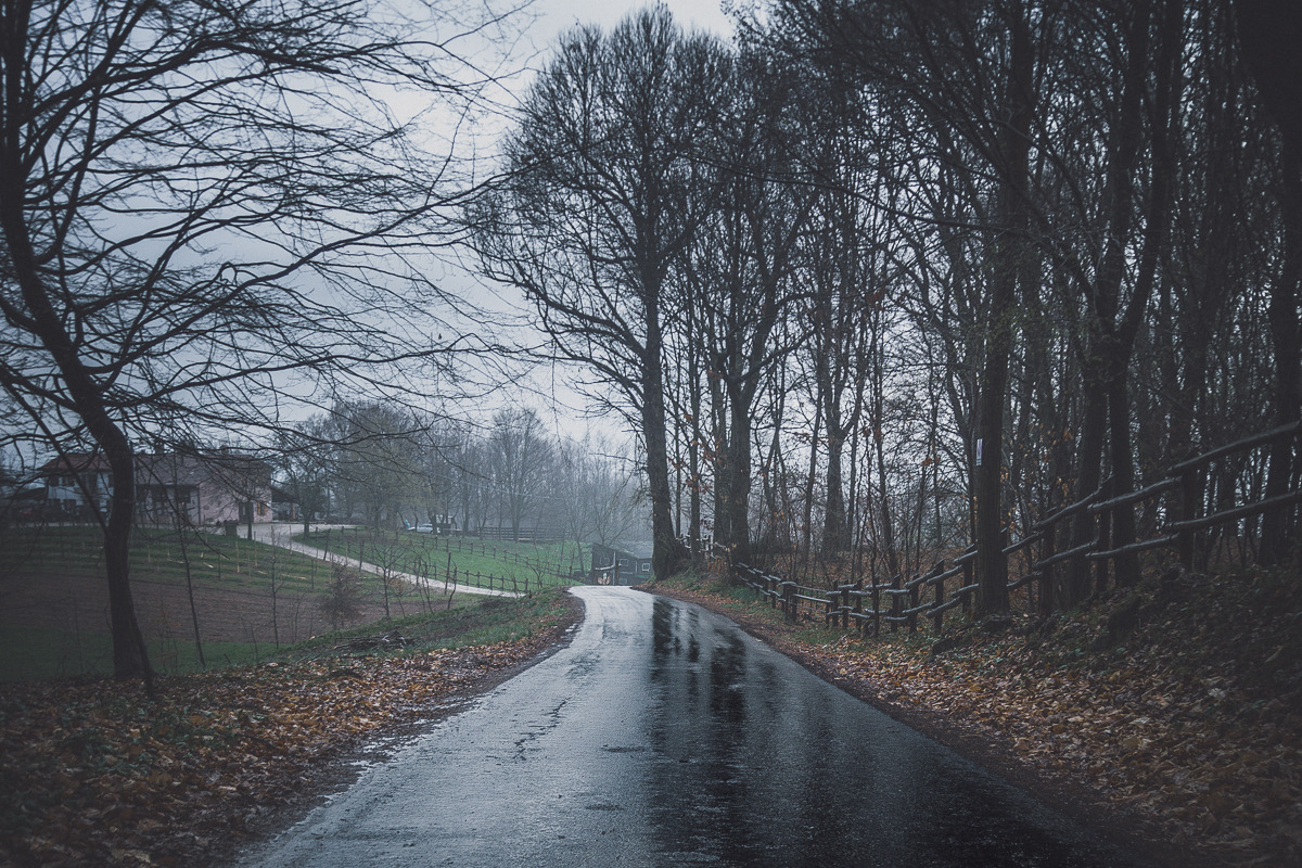
18 ottobre 2015 – Andando verso le montagne da Treviso, e girando ad un certo punto a sinistra a Quero (BL), ci si va ad infilare nella valle dello Schievenin. Dopo qualche chilometro in macchina si arriva all’omonimo paese di Schievenin. Si tratta di una strada che segue il percorso del torrente Tegorzo ed è circondata da pareti rocciose di considerevole altezza, tant’è che è una buona palestra anche per chi arrampica.
Questo paesello così incuneato tra le montagne, che formano la valle dello Schievenin, fa un po’ di impressione, e io in questi luoghi, mi chiedo sempre come fosse la vita qui molti anni fa, prima dell’era industriale, prima ancora dell’energia elettrica. Quale fatica poteve essere la vita o quale evento poteva essere il semplice scendere al paese: fare quella strada oggi asfaltata, che io faccio in 30 minuti di macchina, e che un tempo chissà com’era impervia.
Di per se il paesino non riserva grandi sorprese: qualche casa incastrata tra la parete rocciosa e la strada; un grande ufficio postale, un tempo certamente di vitale importanza, ora quasi abbandonato; e un’osteria che trasuda fumo di sigaretta, bicchieri di rosso e giochi di carte, di quand’era sicuramente luogo di ritrovo per gli abitanti.
Insieme alla Chiesa.
Sacro e profano.
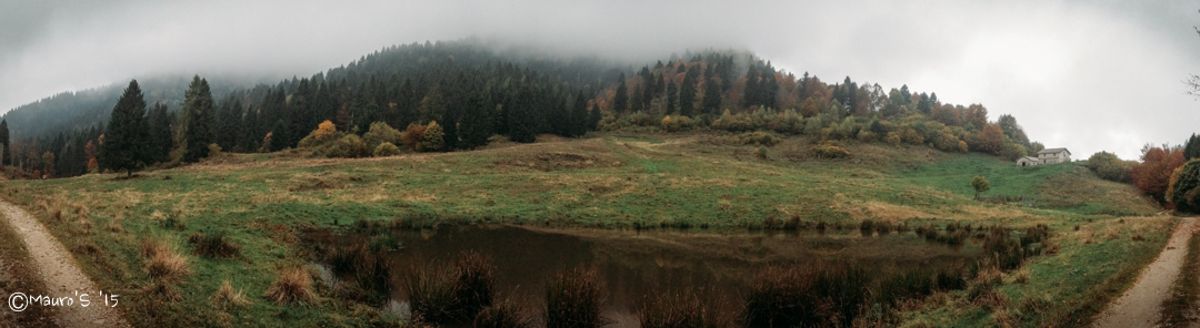
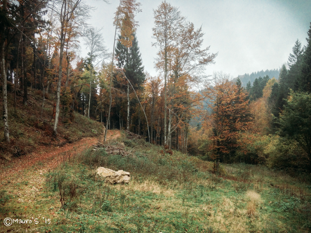
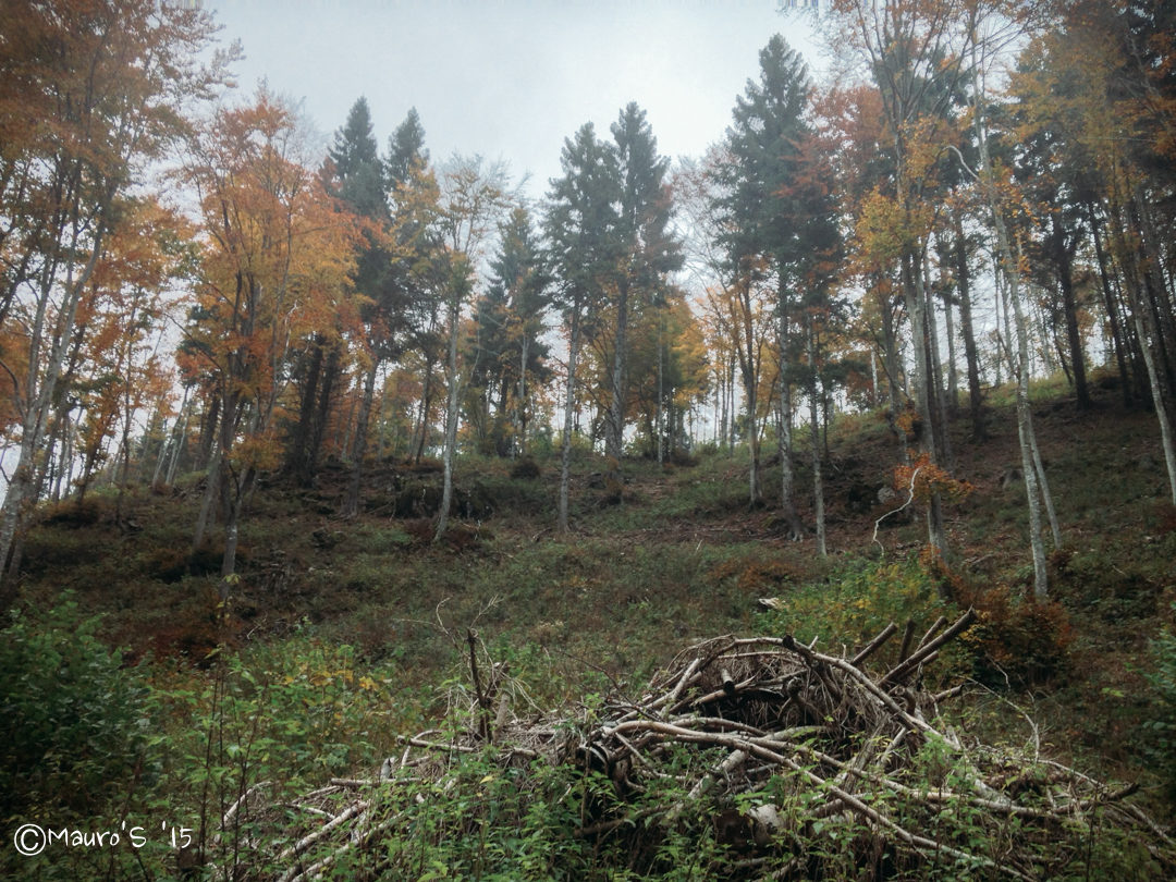
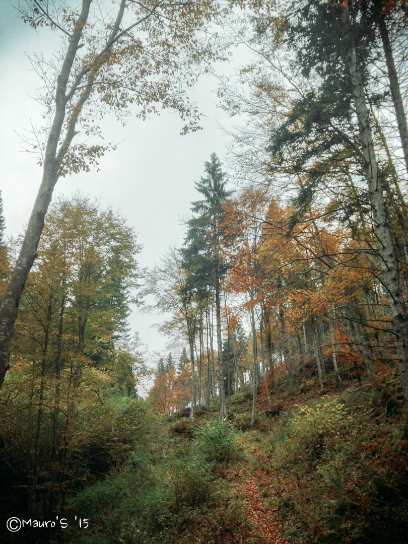
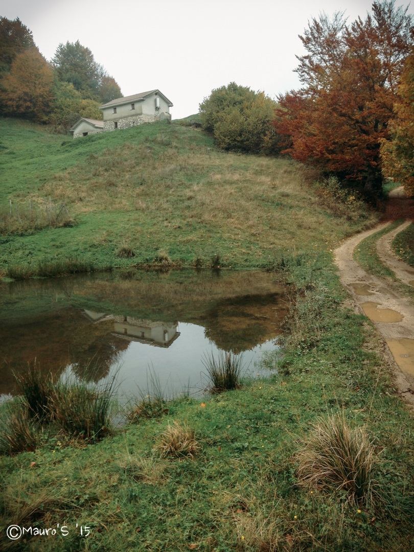
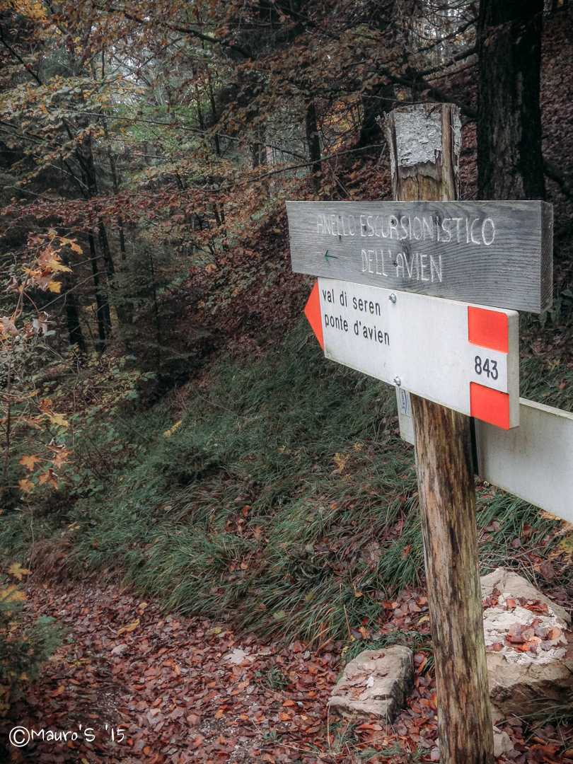
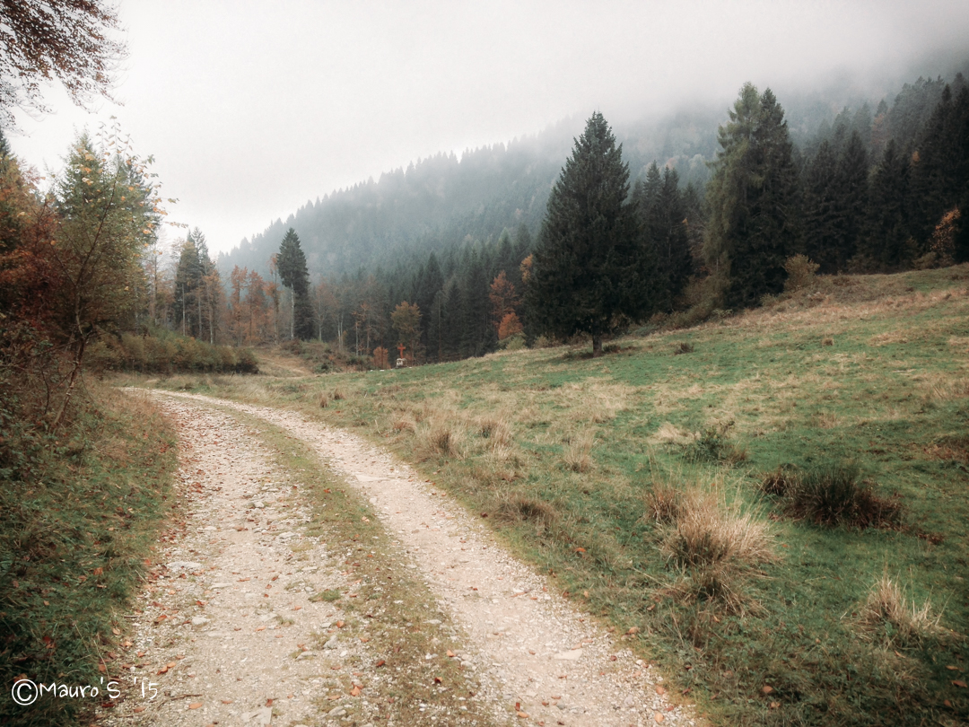
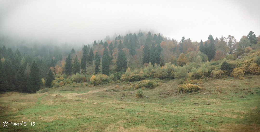
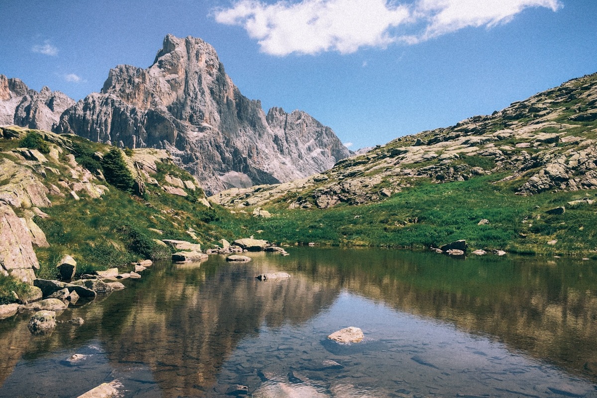
Attorno invece molta natura, molti sentieri, e i tipici paesaggi delle prealpi venete.

Un giro ad anello, e qualche foto solo con l’iPhone, senza pretese.
October 18, 2015 – Going towards the mountains from Treviso, and turning left at a certain point in Quero (BL), you go to enter the valley of Schievenin. After a few kilometers by car you arrive at the village of Schievenin. This is a road that follows the course of the Tegorzo torrent and is surrounded by rocky walls of considerable height, so much so that it is also a good gym for climbers.
This little village wedged between the mountains makes a bit of an impression, and I always wonder what life was like here many years ago, before the industrial era, before electricity. What a struggle life could have been, or what an event it could have been just to get down to the village: to take that road that today is paved, and that I can do in 30 minutes by car, and that once who knows how impervious it was.
In itself, the village does not reserve great surprises: a few houses wedged between the rock face and the road; a large post office, once certainly of vital importance, now almost abandoned; and a tavern that exudes cigarette smoke, glasses of red wine and card games, from when it was certainly a meeting place for the inhabitants.
Around instead a lot of nature, many paths, and the typical landscapes of the Venetian prealps.
Loop ride and some unassuming photos just for iPhone.
[ultimate_maps id=”5″]

No Comments